

At the time I was writing my feature article, ‘Open for Visitors,’ for publication in the September, 2004 edition of ‘Lincolnshire in Focus’ magazine, the Far Ings Nature Reserve at Barton – the article’s subject – was undergoing a significant planned expansion.
The project was a commendable one, which I summarised in my feature as follows:
“A more recent ambitious expansion programme has seen the creation of five further pits across the road from the visitor centre. There are no short term rewards in projects such as this and it will take between three and five years for the pits to develop into the planned complex of open water and reed beds.
The thirty-five acre development, including the Blow Wells, woodlands – an area key to the long term water-quality management of the site – was bought by the Trust from local farmers in 2000, with cash generated from the sale of clay. This mutually-beneficial business deal resulted in 300,000 tonnes of clay being bought by the North Lincolnshire Council, from Far Ings, and transported to Barton for reclamation of contaminated land at a former chemical works.
Whilst the Blow Wells development represents an exciting and prestigious project, it is only one facet of the hard work that has been, and continues to be carried out here. The restoration of reed-beds, together with reed-cutting management are all tasks that must be tirelessly observed if the notable successes of the site are to be maintained.”

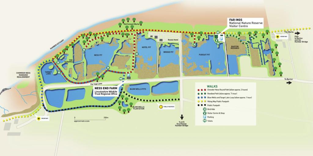
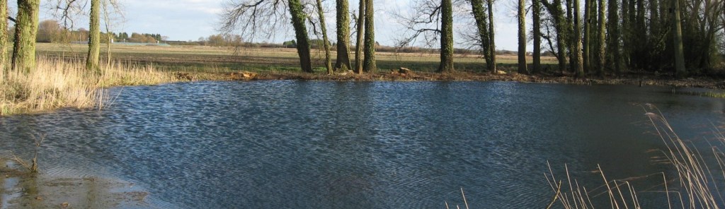
The reserve covers a wide area adjacent to the River Humber, and contains a variety of habitats, including several freshwater lakes. These are individually named, as shown on this map:
Since the project’s completion my wife and I have spent many hours at the reserve, birdwatching from the various lakeside hides, as well as strolling around the footpaths there. One such trail encircles the lake known as ‘Blow Wells.’
It was only recently, however, while on an organised group ramble at Laceby, near Grimsby, that I learned that Far Ings’ ‘Blow Well’ moniker was not ascribed out of convenience, to identify it from the site’s other lakes. Instead, the name is that given to a distinct geographical feature.
In other words, the lake so-named at the Barton reserve is not the Blow Well, rather it is a Blow Well – one of many. Furthermore, the feature is one that is believed to be unique to this part of Lincolnshire, their appearance due to the area’s singular topography.
This was explained briefly during the Laceby ramble – for it was one that took us around several other blow wells. It was there we also learned that it is the remarkable convergence of factors that contribute to their creation which result in them being such richly bio-diverse habitats.
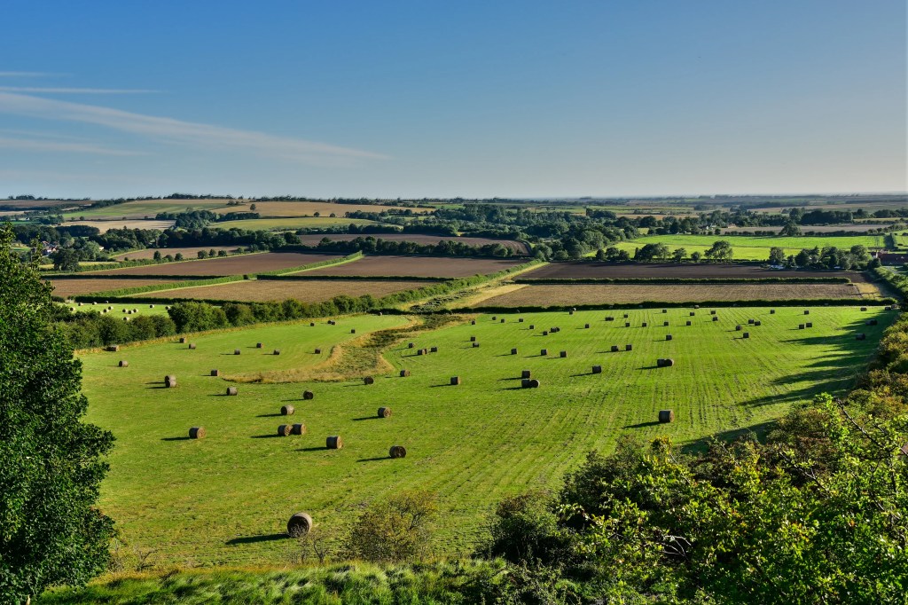
The county of Lincolnshire is often labeled as being ‘flat.’ Whilst it does indeed have its salt marshes to the east and fenlands in the south, the county as a whole is anything but flat. On the contrary, much of it is characterised by gently-rolling farmland.
Most notably, running in a south-easterly line roughly parallel with the North Sea coast is a range of low hills, known as the Lincolnshire Wolds.
These begin west of Barton-upon-Humber, close to the foreshore, and continue in an undulating line toward the fens.
Surprisingly, given the county’s uninteresting, two-dimensional reputation, Lincolnshire’s Wolds form the highest land in eastern England, between Yorkshire and Kent. They are composed largely from a series of pure marine limestones , known collectively as the Chalk Group. The chalk which forms the Wolds also descends northeast and east, as a stratified seam beneath the Lincolnshire marsh to the Humber Estuary. Here it meets boulder clay.
Rainfall occurring on the Wolds percolates down to the water table, following the path of least resistance, through the chalk and onward to the coastal marshes and the layer of clay. Here, the groundwater is under pressure. In those places where an opening in the clay runs from the chalk layer to the ground above, and the pressure is sufficient, the filtered rainwater emerges at the surface.
It is this set of circumstances that differentiates a blow well from other types of spring.

The Lincolnshire Chalk Streams Project helps to boost understanding of the county’s blow wells, their geology, flora and fauna in a bid to connect people with nature.
Ruth Craig from the Lincolnshire Chalk Streams Project explained:
“Blow wells are an extremely rare form of artesian spring habitat found only in North and North East Lincolnshire. We hope to raise awareness of their importance as geological features within the greater Lincolnshire landscape which have ‘Local Geological Site’ designation.
Between Louth and Barton upon Humber, there are around 37* known blow wells, including Tetney Blow Wells, which has been designated as a Site of Special Scientific Interest.
Tetney is such a special place because of its history as a water cress farm and the now restored damp woodland and reedbed habitat supporting a diverse system of plants and animals across five blow wells.
As well as raising awareness about these amazing spaces, we’re planning on training a number of volunteers to monitor and protect the sites for the future.”
* Estimated number of wells at that time. This has since increased.
Guided by our walk-leader, James Elliot, aka ‘The Canoe River Cleaner,’ we have only just begun to explore the merits of the blow wells at nearby Laceby.

James – the Freshney’s Canoe River Cleaner. To access his website, click on the image.
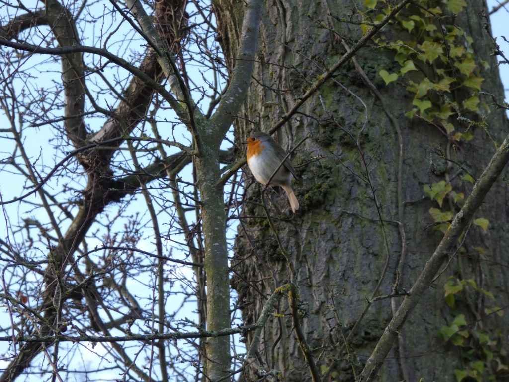
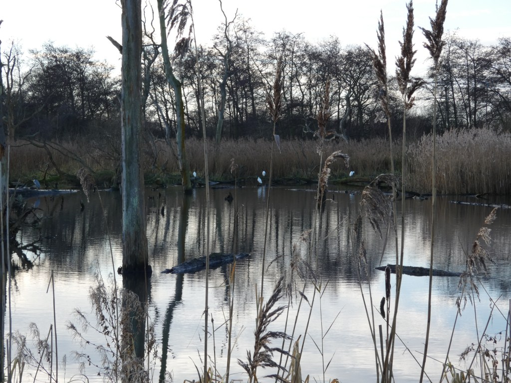
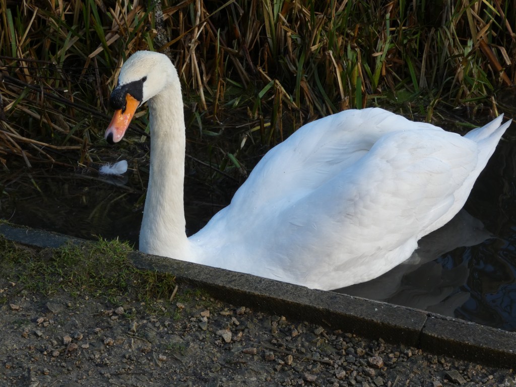
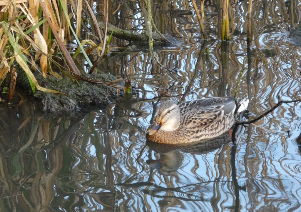
Aided by James we have been able to appreciate the diversity of birdlife afforded by these unique features. During one walk alone, we saw:
- Cormorant
- Little Egret
- Buzzard
- Mute Swan
- Mallard
- Shoveler
- Grey Heron
- Robin
- Long Tailed Tit
- Great Tit
- Chaffinch
- Goldfinch
- Carrion Crow


It is at Laceby where a group of blow wells emerge and feed into the River Freshney. The Freshney – its name is derived from the Old English ‘fresc,’ which means ‘fresh’ or ‘pure,’ – itself rises from a series of springs to the northeast, on the edge of the wolds.

Furthermore, it is also at Laceby where the 14 kilometer stretch of river, known at this point as Laceby Beck, changes from chalk stream to silt bed.
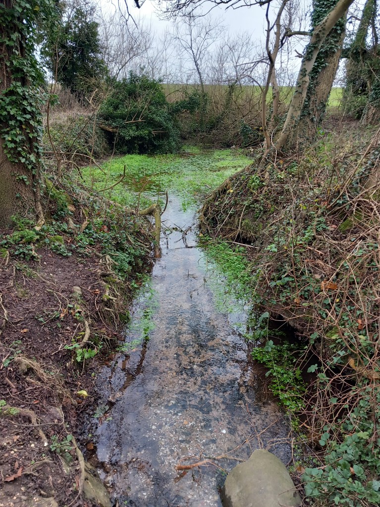
This transformation is apparent in the changing character of the free-flowing stream bed, and seen clearly through the crystalline water:


The River Freshney at Grimsby Town centre
Of the 37 blow wells referred to by by Ruth Craig (above), it is perhaps the well at Tetney that is the most notable. The reserve, which is run by the Lincolnshire Wildlife Trust, consists of four large blow wells with adjoining ecosystems, which include damp woodland, meadow and old water-cress beds.
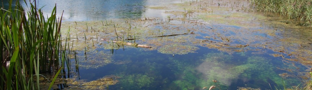
Evidence of the old cress-beds, once part of a water cress farm which existed here between 1948 and 1961, may still be seen. These have since been colonised by a rich array of marsh vegetation and reedbeds.
The appeal of the richly-biodiverse environments generated by our blow wells is enhanced by the simple fact that they are the remarkable by-product of a naturally-occurring phenomenon – one that is unique to this area.

I have lived in North Lincolnshire all my life and didn’t know about these blow wells, I just thought they were ponds! Very interesting article and thank you for this very informative information. Keep up tghe good work! Regards Norman.
LikeLike
Thank you, Norman. We never stop learning. Like you, I had no idea that blow wells were a ‘thing’. I will certainly do my best to keep up the good work. You may be interested in the other local interest pieces on my site. If you take time to read any, I hope you enjoy.
LikeLike